


LAB6_LUNGOMARE REGINA ELENA (LADISPOLI)
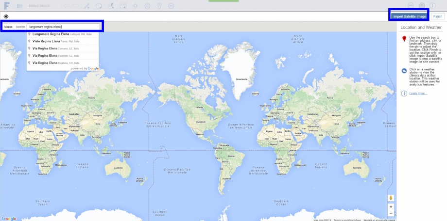
We first access the program with our Autodesk account, then we select the work area by clicking the position button.
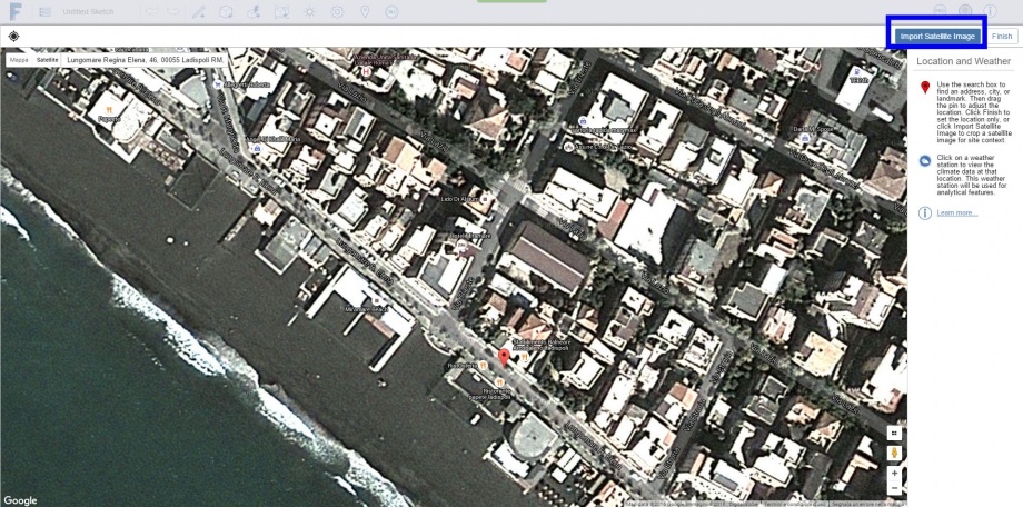
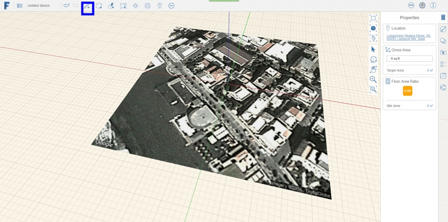
We localize the area by writing in the search bar the complete address, then we will select "Import Satellite Image" after we switched to satellite view
Once we switch to satellite view, we can crop the work area by clicking "Import Satellite Image"
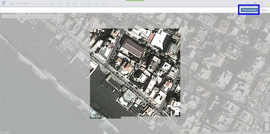
A square will apppear to increase the accuracy of the field we will import into the space model
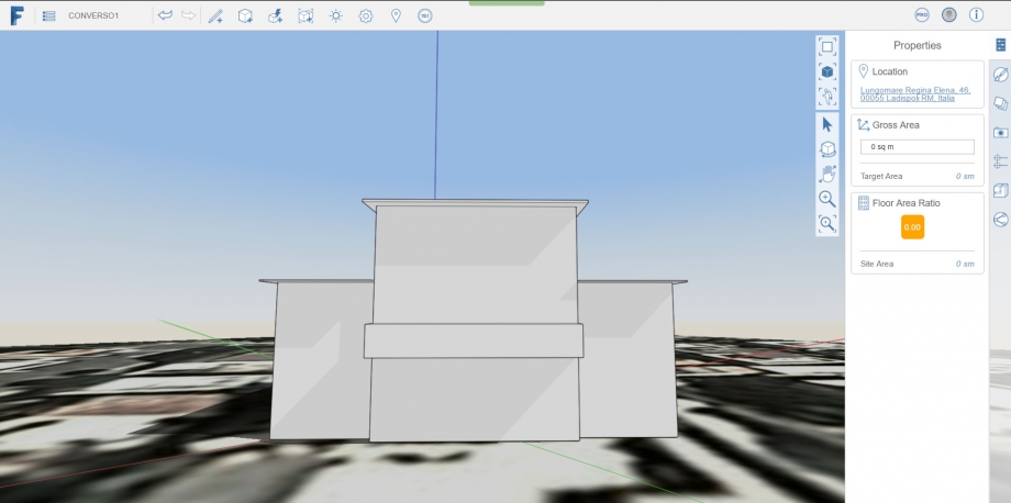
We are back in the model space, we start drawing the 3d model by using the "Create Sketch" command into the command bar upon the screen
Once the 3d is done, we set the "Sun and Shadows" command to set the right time we've taken the photo
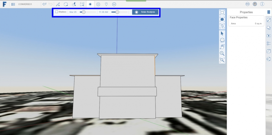
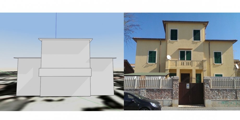
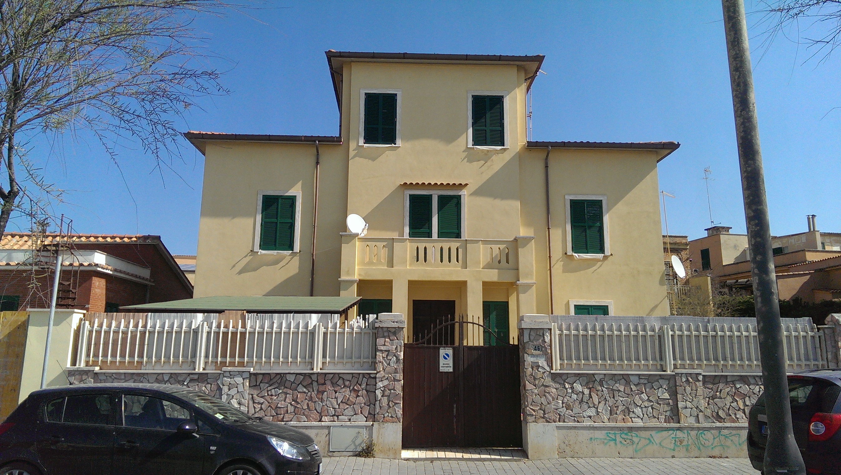
Here's the result. let's confront the render to the real photo
The shadows look in accord with the photo
Commenti
StefanoConverso
Mar, 29/03/2016 - 00:06
Collegamento permanente
Very good introduction but.....
....you only looked at the building! and in one shot -
while this deivery is about urban space, at different times of the day!
the rest is nicely done but please improve, you have time!