Edificio con ombre


Attualmente ci sono 0 utenti collegati.
1) Start Autodesk"Vasari Beta 3
2)On the program introduction page select "New Metric"
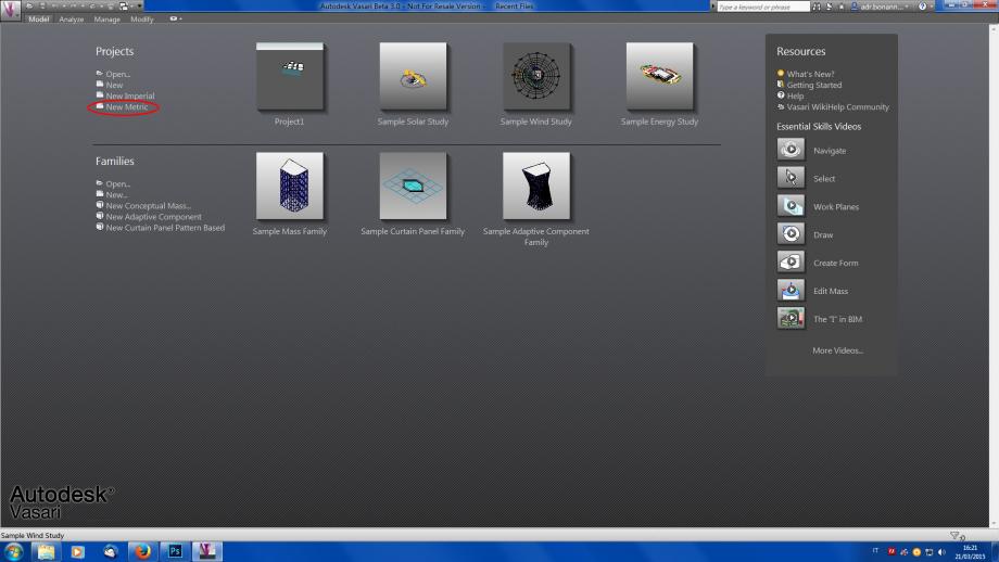
3)Now you can work on the project space,but first set the units of rappresentation in meters (Vasari set by default the millimetric units): Manage>Project Units>Format.And also set "3D View 3D" on the left of the screen.
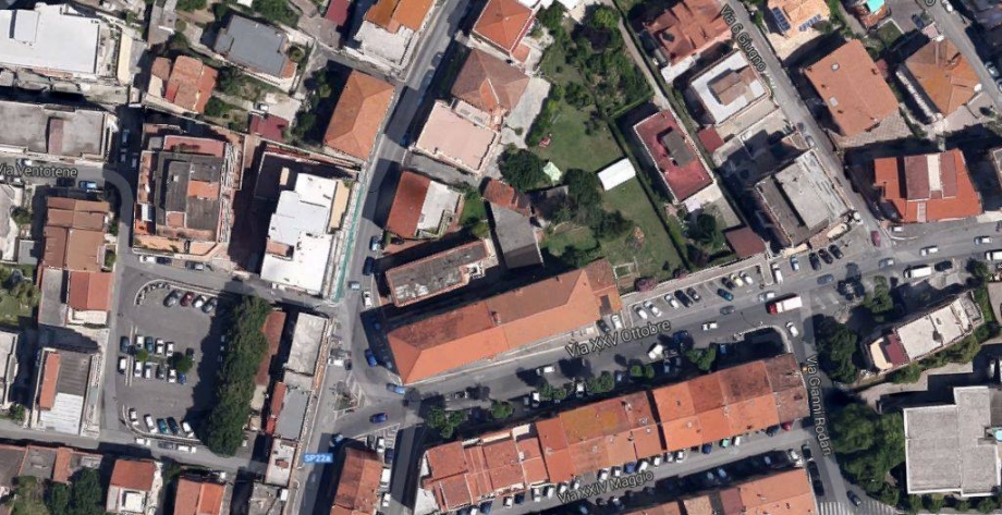
L’area da me analizzata si trova a Frosinone in Via Marittima. Si tratta di una zona residenziale, dove possiamo trovare in prevalenza edifici in linea. L’edificio che andrò ad analizzare è costituito da 9 piani di altezza.
Andreamo ad analizzare il comportamento dell’edificio in diverse ore della stessa giornata, attraverso un’analisi delle ombre che verrano a crearsi sull’edificio stesso.
Prima di iniziare a creare il modello ho cambiato le unità di misura:
MANAGE à PROJECT UNITS.
Ho poi selezionato FORMAT e dal menù a tendina e ho selezionato METERS
In this first exercise we will study the behavior of the sun and of shadows on the facede of the house taken in exam.
The area analysed is found on Via XXV Aprile, in the muncipal of Rome.
The building taken in consideration is a single home with two levels. It is in between two taller buildings.
The front facade of the building is orientated towards west.